Fielda: The Ultimate Mobile Data Collection App
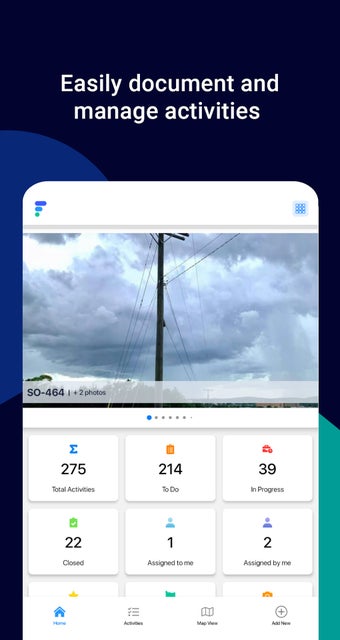
Fielda, developed by Fielda Inc. is a revolutionary mobile data collection app that replaces paper and spreadsheet-based data collection. The app is available on Android and is free to use. It is designed to help users gather real-time field data whether it's for field asset monitoring or maintenance. Fielda GIS maps provide in-depth location intelligence of field assets and simplify your mobile data collection process.
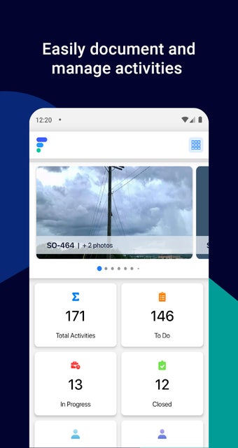
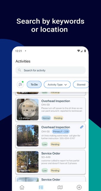
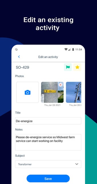
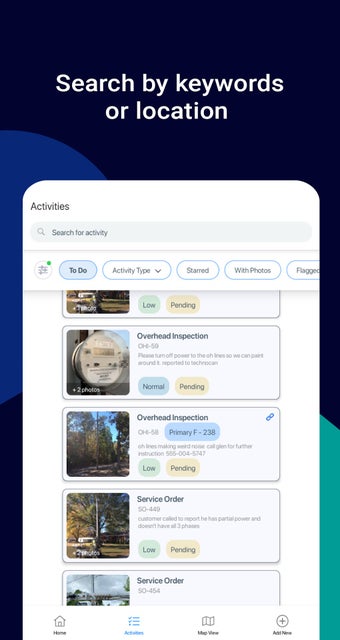
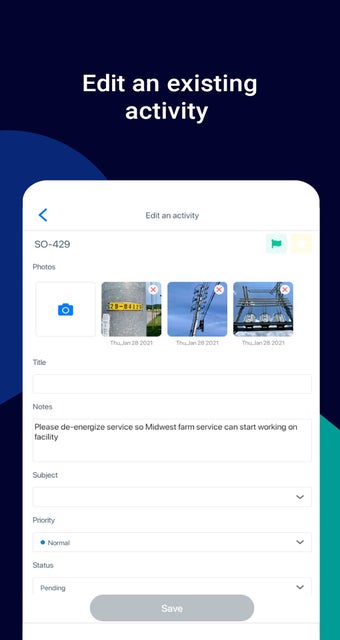
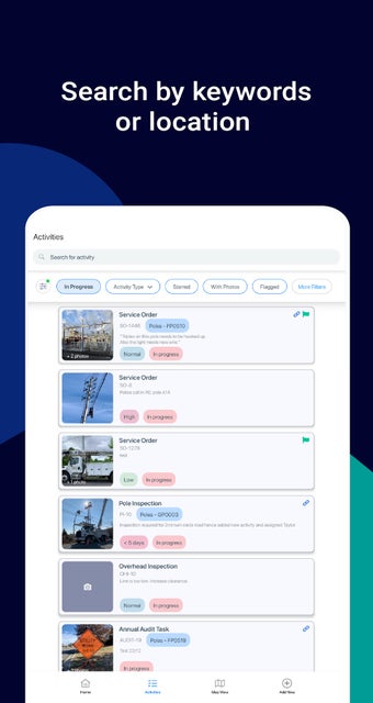
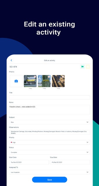
The app is smart, intuitive, and completely customizable. It offers a no-code solution to gather field asset information, capture asset photos, leverage GIS maps, and create workflows on the go. It is suitable for anyone gathering field data, and by integrating Fielda with other legacy applications, you can get a single version of the truth.
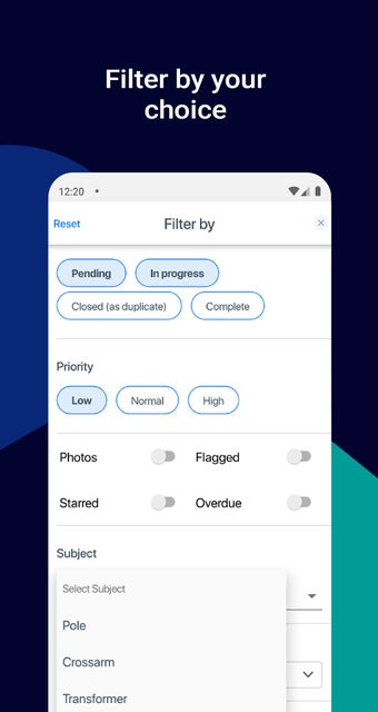
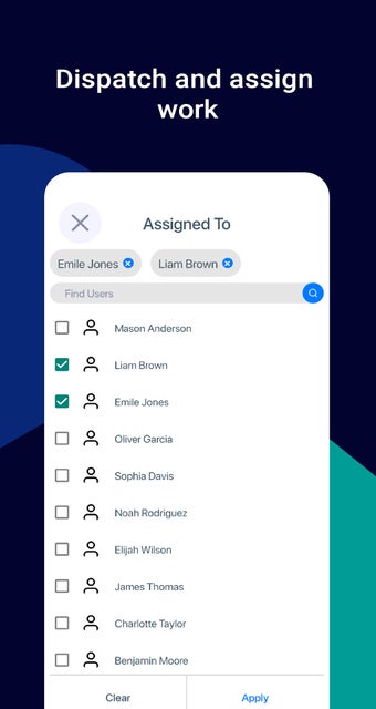
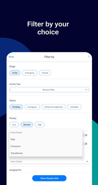
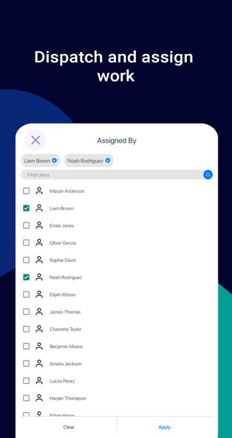
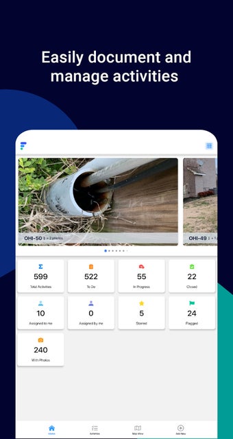
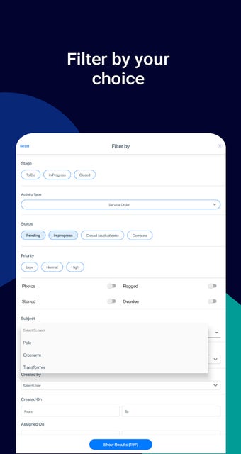
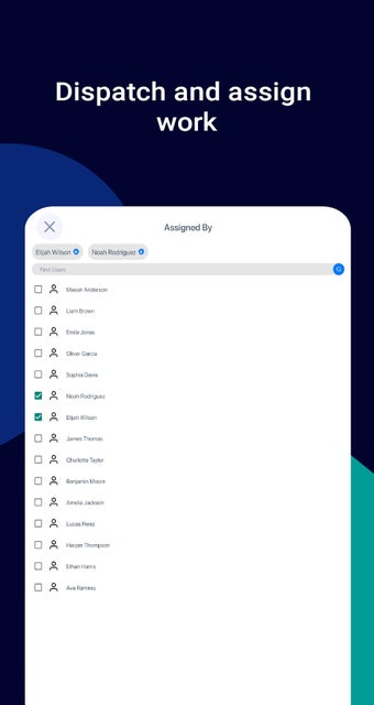
With Fielda, you can create custom forms/checklists and workflows, collect unique data based on parameters and categories you set, and use data insights to plan, prioritize, allocate resources, gain performance metrics, and receive alerts/notifications. Fielda's proprietary GIS maps empower you with detailed location intelligence, giving you the ability to visualize, plan, and design your field assets. You can also enable GPS breadcrumbs to track where your field staff is at any given time. The app allows you to manage access to remote locations using insights on routes, especially to remote or high-risk areas.